Advanced Aerial Intelligence
Responsive data-driven decision support for high-stakes missions.
At L10X AeroInnovations, we deliver state-of-the-art UAS imagery and AI-driven analytics for high-stakes decision-making.
By integrating geospatial analysis with real-time aerial intelligence, we provide a level of resolution, flexibility, and timeliness that traditional satellite and manned aircraft simply cannot match. We offer detailed, customizable views of terrain, infrastructure, and environmental assets—turning raw data into actionable ground truth.
🧠 The Mission
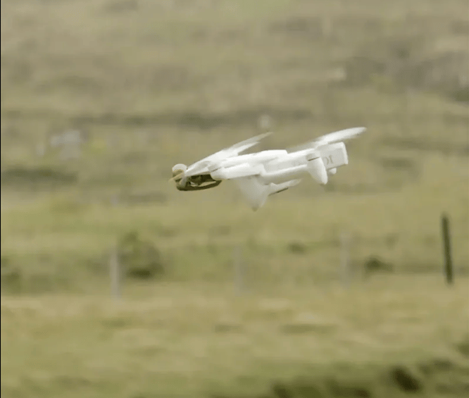
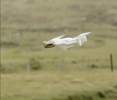
🛠️ The L10X Stack
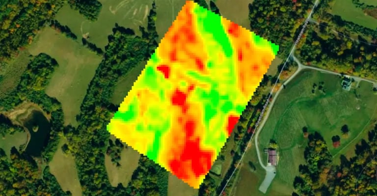
🌿 VISION™ | Precision Agriculture
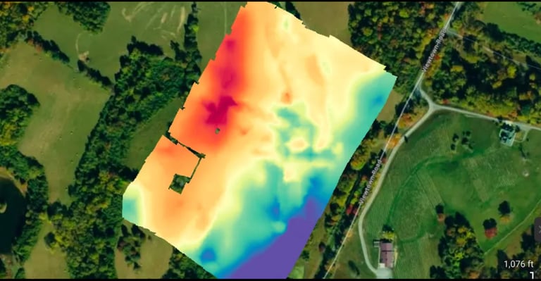
🏔️ TERRA™ | Topographic Intelligence
Beyond the Visible Spectrum.
Don’t wait for the leaves to turn to know your vines are in trouble. We use Tactical LWIR (Long-Wave Infrared) and Edge-Processed Analytics to see what is invisible to the naked eye.
Early Intervention: Detect water stress and irrigation failure 10–14 days before it manifests physically.
Targeted Deployment: High-fidelity 'Vigor Modeling' via advanced high-resolution photogrammetry to separate vine canopy from cover crops for precision nutrient application.
Yield Protection: Scientific "Cold-Air Drainage" analysis to identify frost pockets and verify the effectiveness of passive protection measures.
Master the Terrain.
Whether you are expanding a vineyard or developing a private estate, we provide a Digital Twin of your land to predict how water, gravity, and air interact with your investment.
Hydrological Mapping: High-resolution Digital Terrain Models (DTM) to plan drainage, predict flow, and mitigate erosion.
Solar Optimization: Scientific solar-aspect analysis to ensure plantings or solar arrays are positioned for maximum ROI.
Infrastructure Planning: Accurate terrain data for clearing costs and site development.
🔭 The L10X Trust Architecture
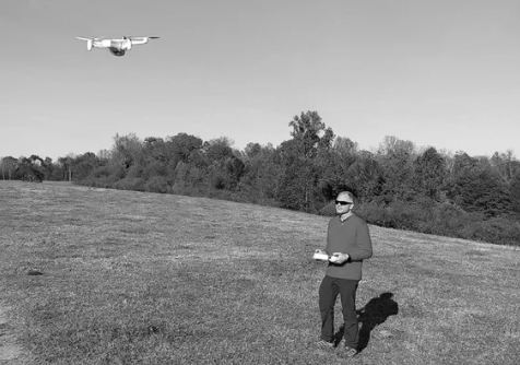
In an industry of hobbyists, L10X is built on an engineering pedigree and a commitment to professional risk management.
Data Sovereignty: We prioritize your privacy. We utilize only NDAA & ASDA Compliant aircraft (Section 889/848). Your data is processed locally and never stored on federally restricted foreign-owned servers.
Advanced Site Awareness: My DroneSec DSOC and CSVA certifications ensure every operation is conducted with a deep understanding of site vulnerability and airspace safety.
Engineering Standards: Every flight and data set is overseen by an expert with an M.S. in Astronautical Engineering and a B.S. in Electrical Engineering.
✉️ A Message from the Founder
For 35+ years, I have led innovation across the military and aerospace industries, delivering cutting-edge technology to high-stakes operations. I founded L10X to provide that same strategic leverage to clients with mission-critical requirements.
Zigmond V. Leszczynski, Founder & CEO
Commander, US Navy (Ret.) | Naval Flight Officer
M.S. Astronautical Engineering (Naval Postgraduate School)
B.S. Electrical Engineering (US Naval Academy)
FAA Part 107 Certified Remote Pilot, CFI, Commercial Pilot
Advanced UAS Risk Management Certification (DSOC, CSVA)
Serving Northern Virginia and Beyond
Contact
Reach out for tailored solutions.
© 2026 L10X Aerolnnovations LLC | Hardware Standards: NDAA & ASDA Compliant Aircraft. TAA-Compliant Hardware available for high-security environments.
Disclaimer: L10X Aerolnnovations provides aerial mapping, topography, and inspection data for informational and management purposes only. We are not Licensed Land Surveyors; our products do not represent legal property boundaries or authoritative surveys for deed recording.